
Diamond Bar ZIP Code Coverage
The ZIP coverage table is the first filter for a Diamond Bar address search. USPS controls delivery routing. The city controls its incorporated boundary. Los Angeles County controls parcel, tax, voter, and court systems. A postal city line can therefore differ from the legal city line, and an old record may carry Walnut even when later records use Diamond Bar.
| ZIP | Areas and relationship | Post office name | Notes |
|---|---|---|---|
| 91765 | Principal Diamond Bar postal territory and most city neighborhoods | Diamond Bar | Delivery geography does not equal the legal boundary |
| 91789 | Walnut postal territory historically overlapping part of Diamond Bar's interface | Walnut | About 3,000 city residents and businesses were cited in the 2011 consolidation campaign |
No verified PO-box-only or unique institutional ZIP assigned specifically to Diamond Bar was found. Nearby ZIPs should not be added because a map radius touches the city.
Why ZIP 91765 Leads Diamond Bar
91765 is the primary standardized ZIP for Diamond Bar. It covers most neighborhoods and is the first value to test in a current postal lookup, but it still does not prove that a parcel sits inside city limits. USPS assigns a delivery route. The city GIS map shows whether the parcel falls inside Diamond Bar. The Assessor ties the site to an AIN, legal description, and county roll.
Store the postal city, ZIP, city-boundary result, and parcel identifier as four separate fields. A single address can have a Diamond Bar mailing line, a county parcel, a school service area, and a different older postal label. That distinction keeps the postal guide from turning a routing result into a resident claim.
Use the city GIS map directory after USPS verification. For a street-level follow-up, the Diamond Bar street directory moves from the ZIP to parcels and address records.
Diamond Bar ZIP Addresses in Walnut
Walnut ZIP 91789 historically served roughly 3,000 Diamond Bar residents and businesses near the northern and western interface. In October 2011, the city promoted USPS surveys to consolidate addresses into 91765. The campaign cited emergency response, delivery, identity, and sales-tax concerns. It created a useful historical break for a postal guide: older licenses, newspapers, business files, and directory entries may use Walnut even when current evidence uses Diamond Bar.
Do not infer that every 91789 address lies outside Diamond Bar, and do not assume every 91765 address sits inside it. Search the exact address in USPS Lookup, then compare the result with the city boundary and parcel map. If a record was created before or around the 2011 campaign, save the postal line exactly as printed.
Diamond Bar ZIP Routing and City Limits
Postal, civic, county, school, and service maps answer different questions. USPS tells a carrier where to route mail. City GIS tells whether a parcel is inside Diamond Bar and shows zoning or displayed ownership. The Assessor provides county parcel facts. Walnut Valley Unified and Pomona Unified serve different parts of the city. City maps for schools, sweeping, trash, parks, and amenities show service areas, not household members.
- ZIP code
- A USPS delivery area used to sort and route mail.
- ZIP+4
- An extended delivery code returned after USPS verifies a full address.
- PO-box ZIP
- A ZIP assigned to box delivery rather than a standard street route; no Diamond Bar-specific one was verified.
- Carrier route
- A finer delivery path within postal operations, not a public resident roll.
- City limit
- The incorporated boundary used by Diamond Bar government, separate from postal naming.
A postal guide is most useful when it states which authority produced each field.
Diamond Bar ZIP Search Fields
The USPS interface offers an address route and a city-and-state route. Use the address route when a person, parcel, or old record gives a street. Use the city route only to see the postal geography available for a named place. The result returns a standardized address and ZIP+4, which can then be compared with city GIS.
| USPS control | Type | Required | Format or result |
|---|---|---|---|
| By Address | Search mode | Choose one mode | Street Address, Apt/Suite/Other, City, State |
| By City and State | Search mode | Choose one mode | City and State fields for available ZIPs |
| Find or Submit | Button | After fields | Returns standardized address and ZIP+4 when matched |
| Clear or Change Search | Controls | No | Resets the form or changes the search mode |
The USPS ZIP Lookup is the source for the field order.
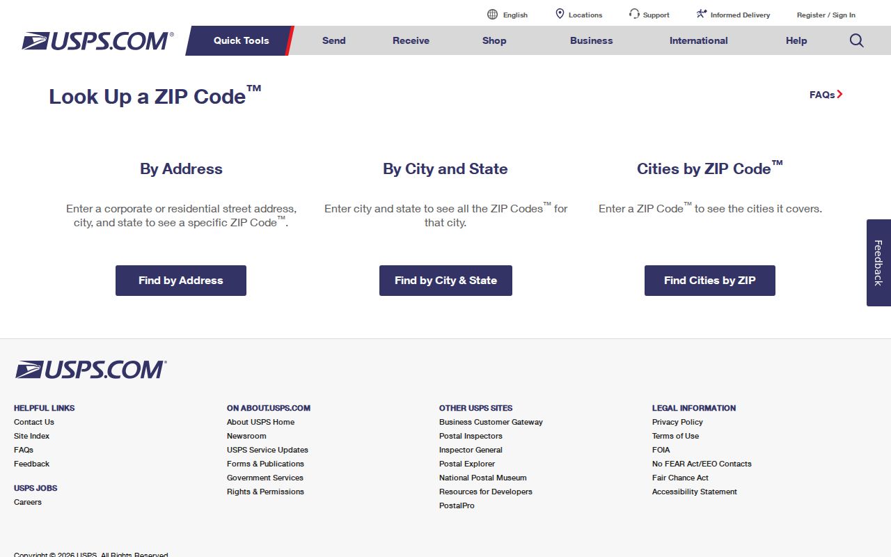
USPS confirms routing. It does not confirm city jurisdiction, parcel ownership, or residency.
Which Diamond Bar Portals Take ZIP
ZIP is a useful filter for some official searches and irrelevant to others. The city permits archive uses street and address hierarchy. City GIS and the Assessor use address or APN. The county voter self-check asks for ZIP as one of four matching values, but it is not a ZIP browse tool. The recorder has no public address or ZIP search. Court name search is not a resident ZIP directory.
CSLB's city or ZIP mode can list eligible licensed contractors when paired with a license classification, and it can export selected or all results to PDF or Excel. That is a professional-record search, not a household list. The City Clerk's records and transparency page supplies jurisdiction context for city files.
The city-facing page is useful when a ZIP question turns into a question about which government office owns the record.
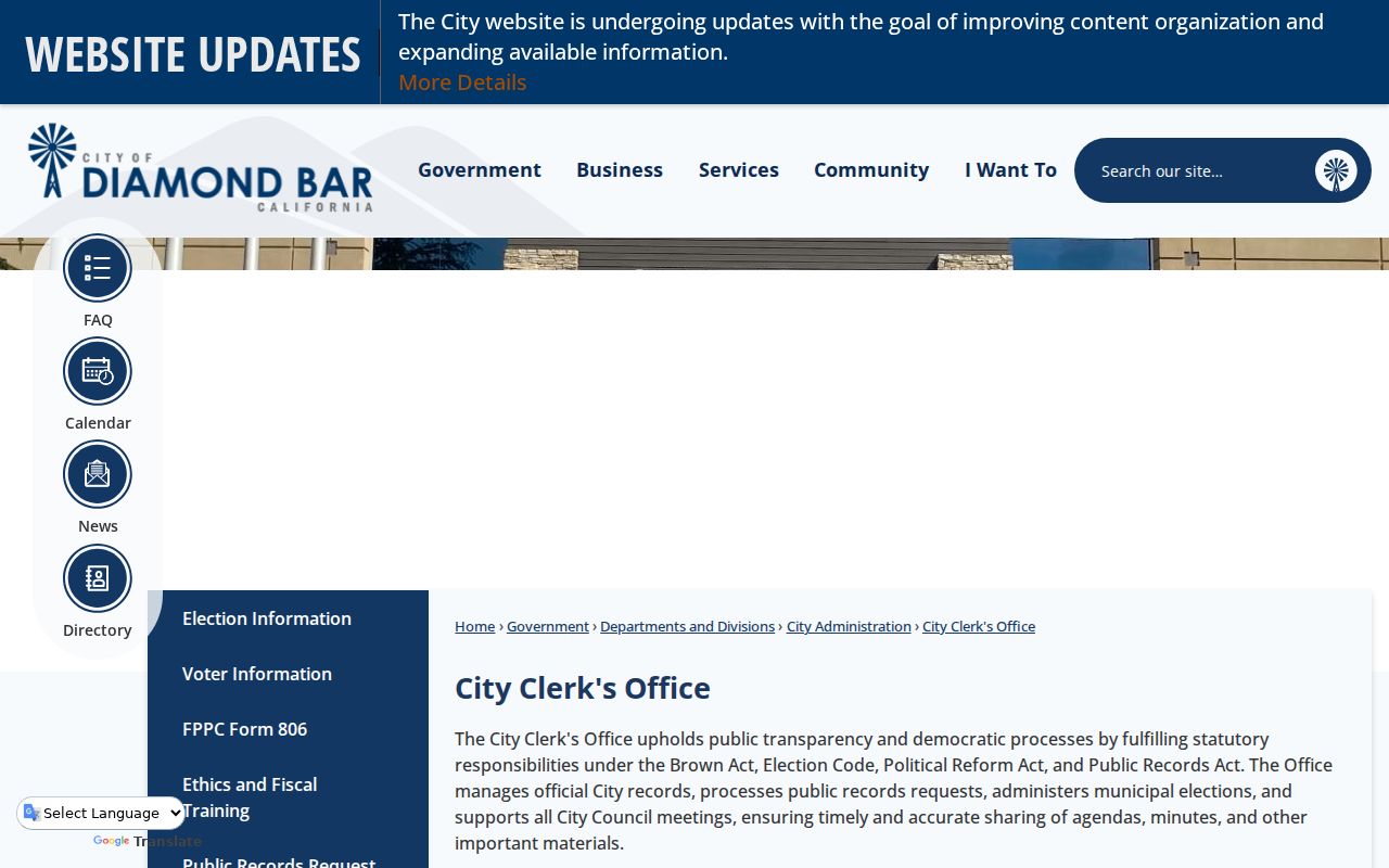
A city office can explain local record custody, while USPS remains the authority for mail routing.
If the address does not resolve, try the USPS city-and-state mode, then ask City Planning or Public Works about a local addressing or emergency-service assignment. The city parcel viewer can test an APN even when a postal label is old. A county record request should identify the department and record type rather than ask for a new ZIP-based list. These fallback channels matter because postal data is built for delivery, while public-record systems are built for parcels, permits, and agency work.
Diamond Bar ZIP Service Geography
Diamond Bar sits at the eastern edge of Los Angeles County beside City of Industry, Pomona, Chino Hills, Brea, Orange County, and unincorporated county land. Freeways 57 and 60 shape travel and address patterns, but they do not define the ZIP. School locators for Walnut Valley Unified and Pomona Unified can clarify service geography. City layers for sweeping, trash, parks, and amenities describe public service zones.
These maps can explain why two nearby addresses have different agency contacts or school routes. They cannot release student records, list every household, or replace a parcel search. A careful postal guide names the map layer before using it as context.
For parcel neighbors or a named road, move from the ZIP to the address-based street record chain. ZIP is the coarse filter; APN and street are the working keys.
Diamond Bar ZIP's 2011 Identity Break
The 91789 consolidation campaign is a practical research breakpoint. If an older record says Walnut, search both the postal city and Diamond Bar. If a business-license report, newspaper, or directory was issued after the campaign, test 91765 first but keep the older label in the notes. A postal guide that hides this transition can make a correct person or business look out of place.
The same address may carry a different local office even when its mail line changes. City permits, county deeds, and voter custody do not move simply because USPS routing does. Keep the address, APN, postal city, ZIP, and incorporated-boundary result in the record log.
Note: ZIP changes explain a search mismatch, but they do not change a parcel's legal description or recorded title history.
Using a Diamond Bar ZIP Guide
A postal guide should narrow a search, not overstate what a ZIP can reveal. Start with USPS, confirm the parcel in GIS, and use the proper custodian for the next record. For a city permit, request a street and house number. For an Assessor result, save the AIN. For a deed, carry a party name and year to Norwalk. For a voter match, use the private four-field form or an authorized file request. For a historical address, test Walnut and Diamond Bar labels together.
- Enter the full street address in USPS Lookup and save the standardized city, ZIP, and ZIP+4 result.
- Check the same address in city GIS and the County Assessor to confirm the parcel and incorporated boundary.
- Choose the next custodian: city permits for an address file, RR/CC for a deed, or the voter self-check for the person's own registration.
- If the source is historical, search both 91765 and Walnut 91789 and preserve the postal label used on the original record.
The verified ZIP code is the first routing key, while the parcel and city-boundary checks answer different questions.
If a city record is missing, the Diamond Bar CPRA route accepts a narrow description. The city says it will determine within 10 calendar days whether responsive disclosable records exist, although production may take longer and duplication can be charged. A request cannot require an office to create a new ZIP-based resident list.
Lawful personal use. ZIP geography supports parcel research, family history, civic questions, and personal safety. Do not use a ZIP or public record to compile household information, stalk, harass, threaten, or harm anyone.
The official request page shows the fallback when a ZIP search points to a local file that is not in the online library.
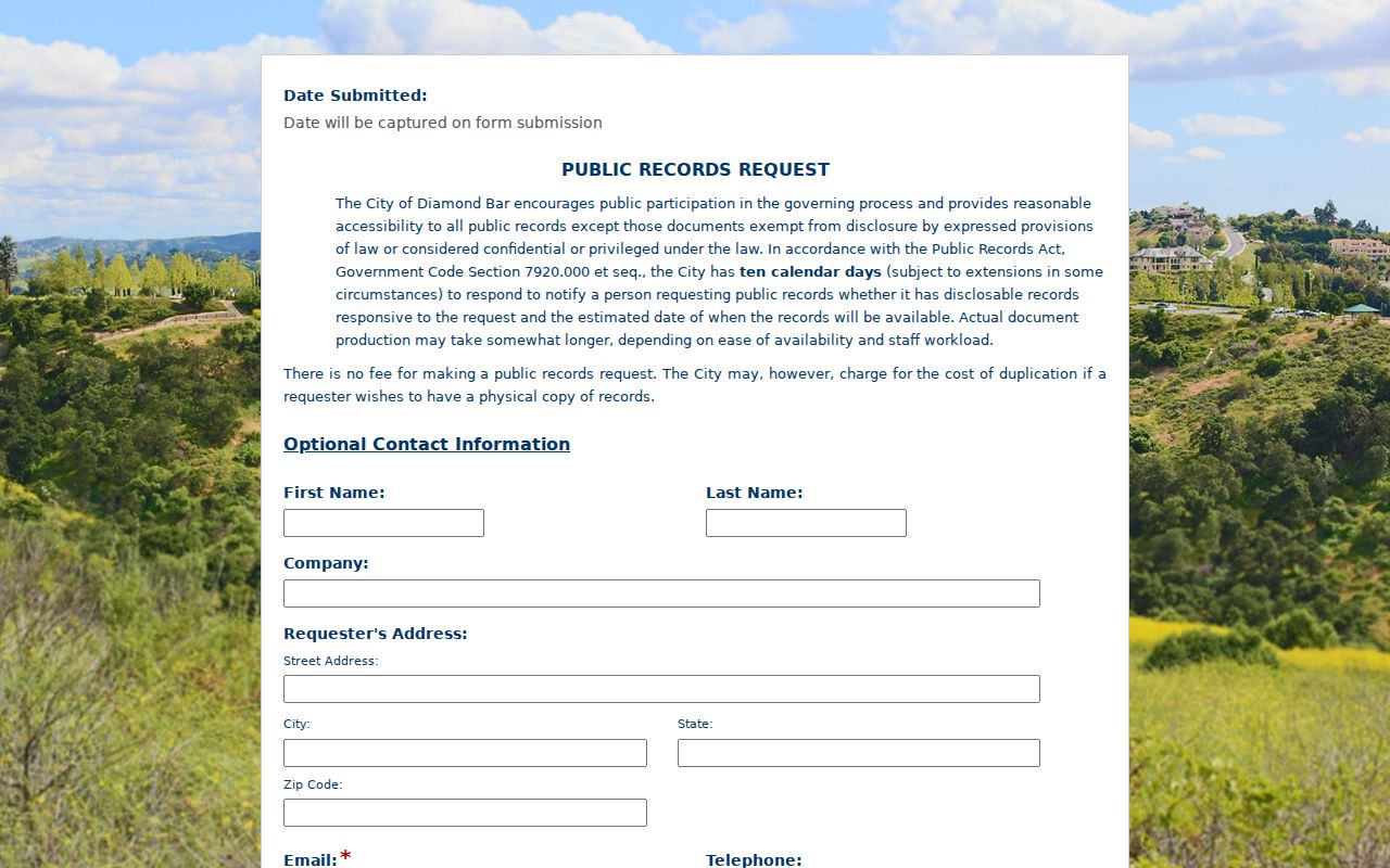
The request form belongs to the city records workflow, not to USPS. That distinction keeps each ZIP result tied to the right authority.
Keep a short search log with the address as entered, the USPS standardized result, the ZIP+4 when returned, the city-boundary answer, and the parcel identifier. If an older source uses Walnut, preserve that exact wording and note the record date. This makes a postal guide useful for later street, deed, library, or court research without turning postal data into a claim about who lives there.